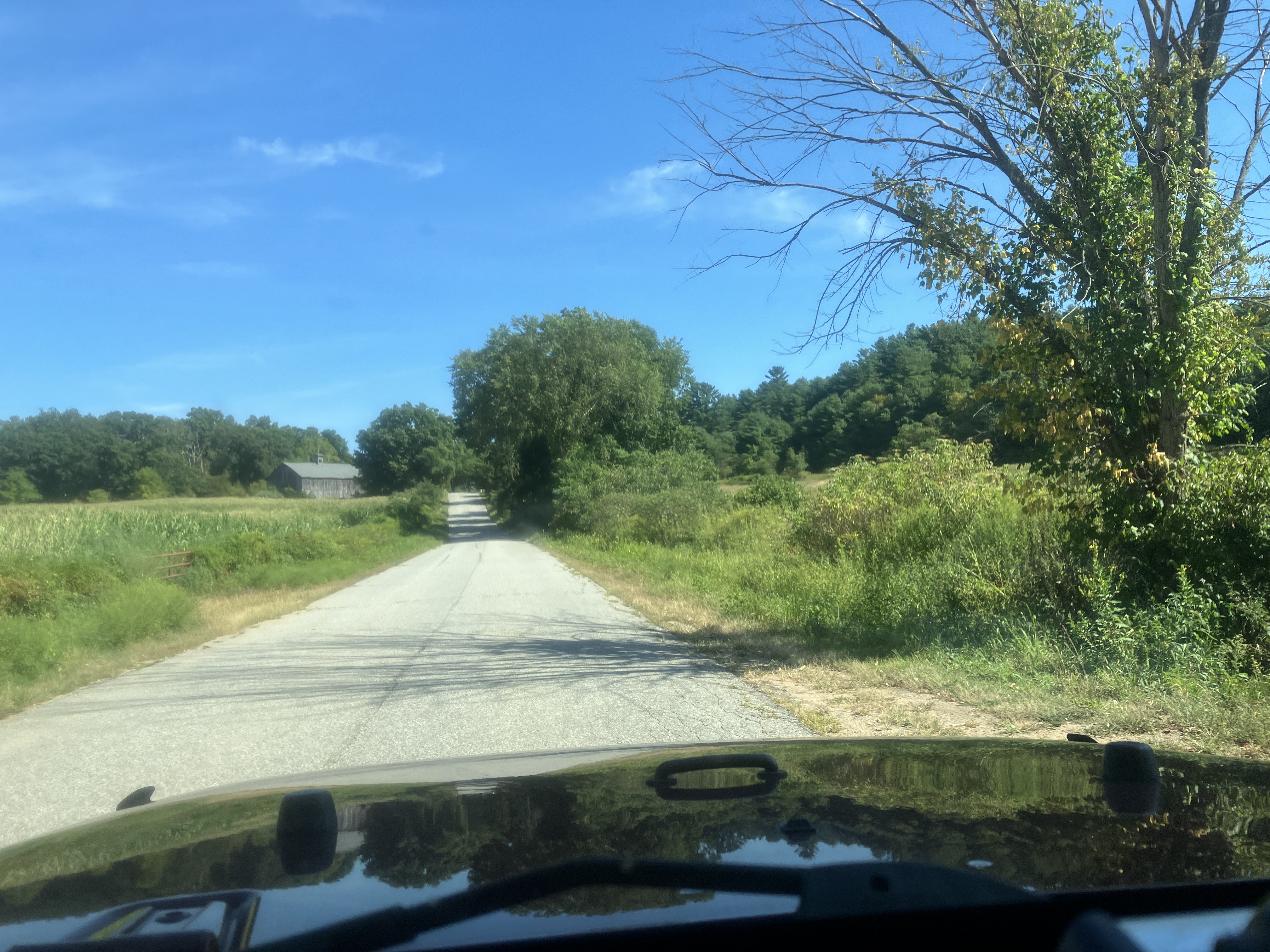
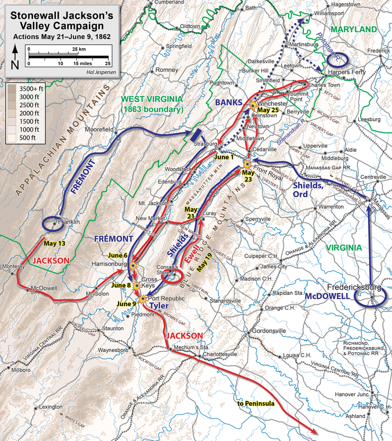
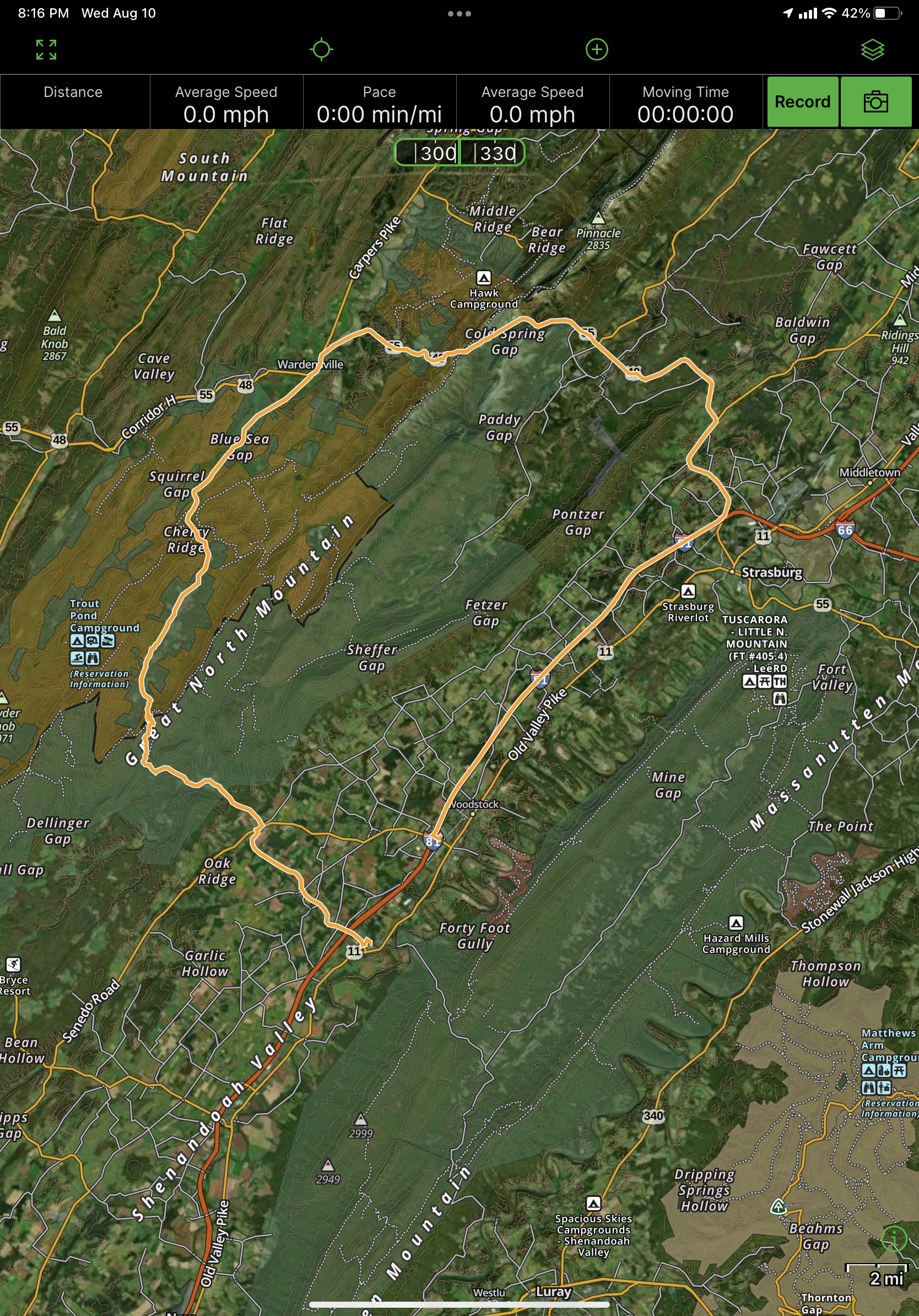
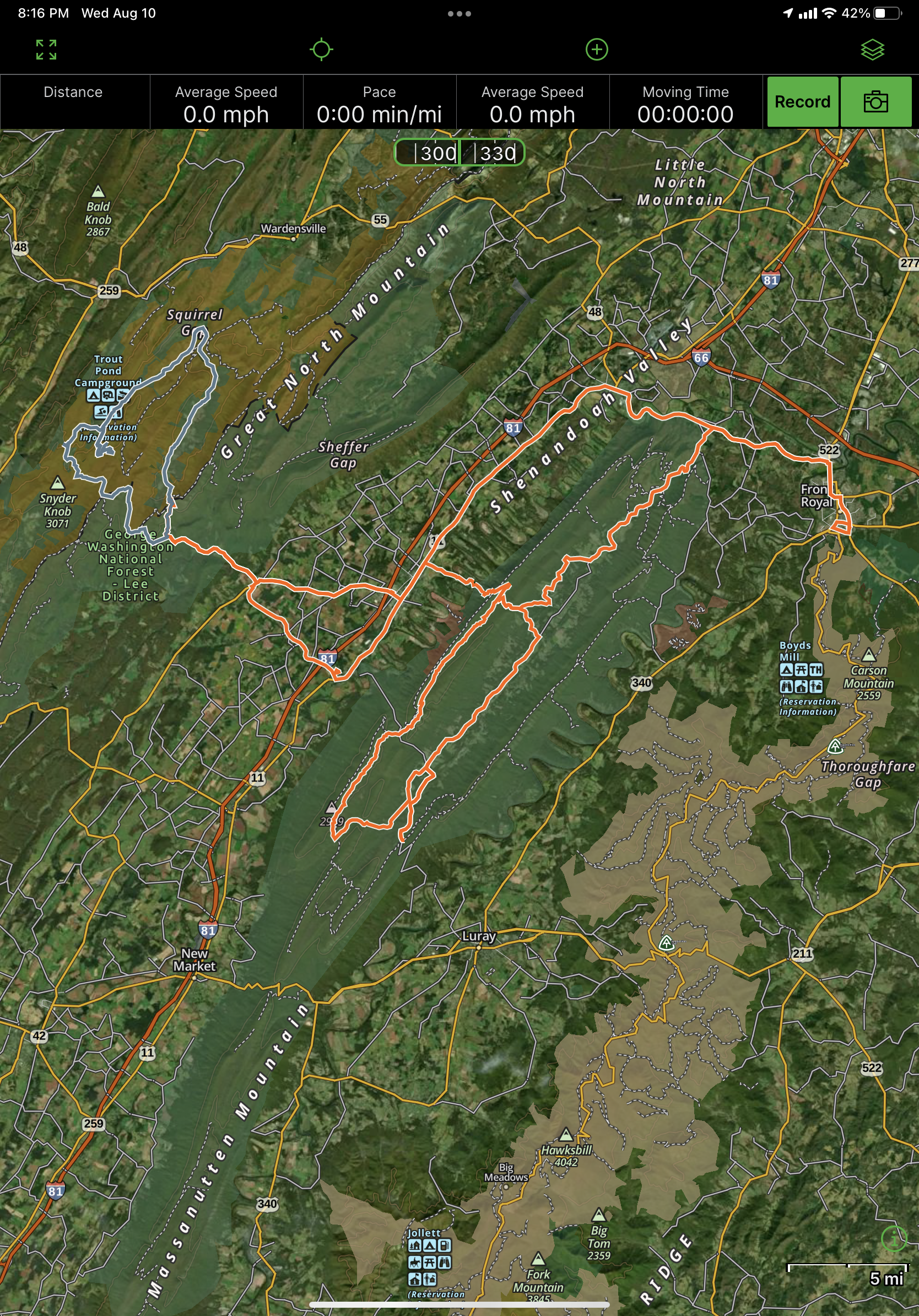
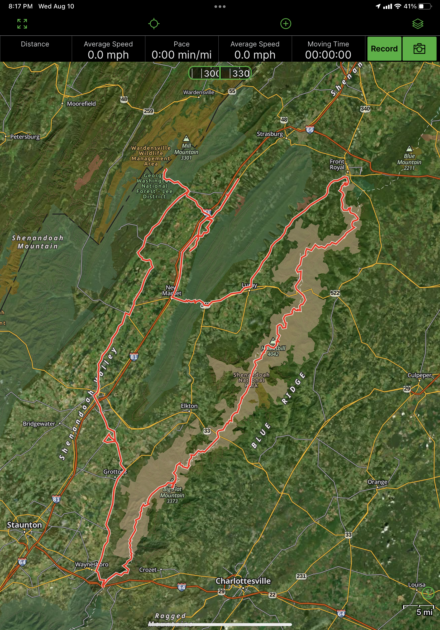
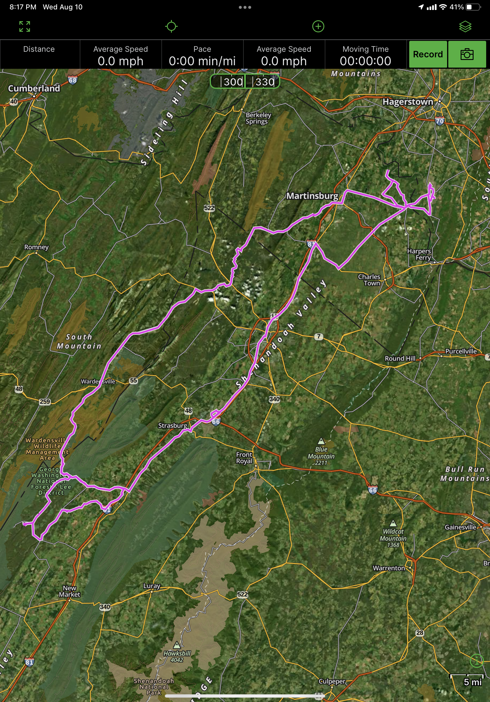
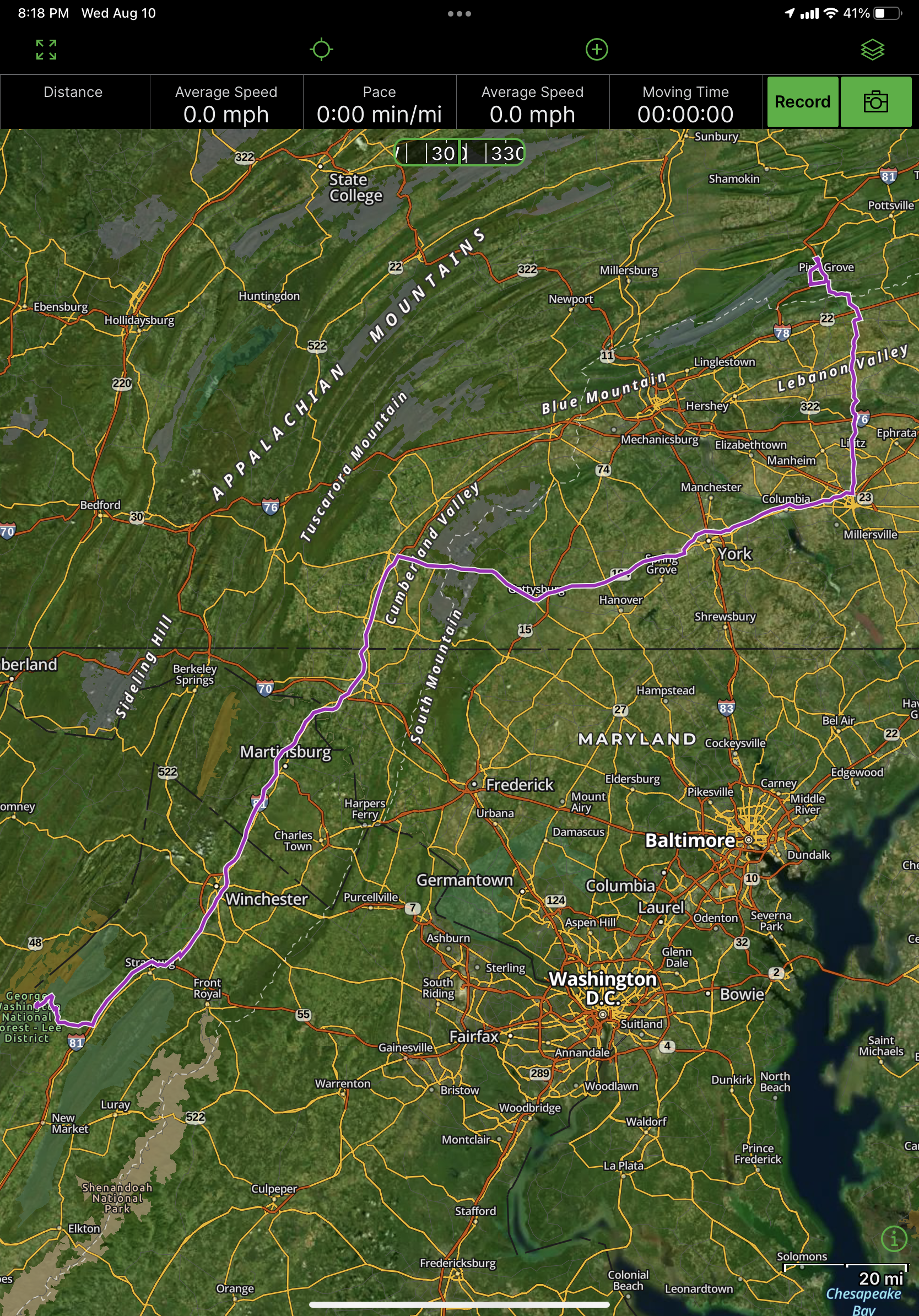
Driving around the valley, I came to realize first how much of the Civil War was fought in a relatively small area -- and how much could have been observed from critical mountain tops. As soon as I saw what are literally called "Pennsylvania Barns" -- those with the 8' or so overhanging forebay -- I knew a lot of settlers came up the valley from the north. Being the unusual north running river, it is odd thinking of going up south!
The geography created a more culturally mixed area. Eastern Virginia rivers encourage east-west settlement up until they hit the Blue Ridge. Settlement moves faster north-south once folks cross the Blue Ridge and enter the Valley and Ridge province. At that point they also started mixing with German and Scotch-Irish settlers moving up the valley from Pennsylvania.
The Shenandoah Valley offered a ready way to move northeastward to cross the Potomac. Forces could then move southeast along Potomac towards Washington, or continue up the major valley of the Valley and Ridge geologic province to Harrisburg on the Susqehana.
The Shenandoah follows the largest valley of the Valley and Ridge geologic province. This province has many valleys and ridges running southwest to northeast (though they turn strong easterward at the northernmost portion). To the east, many large rivers make north-to-south travel more difficult. The Shenandoah Valley provides easy movement along it south of the Potomac, and north of Potomac similar geography prevails making easy travel towards Harrisburg. Moving westward in the province requires crossing frequent ridges.
A few maps showing the east-west rivers east of the Blue Ridge Mountains in Virginia and South Mountain in Maryland/Pennsylvania north of the Potomac.
The Shenandoah Valley became an interesting mixing ground. German settlers first moved up the valley from the north from Pennsylvania. Scotch-Irish meanwhile moved from the coast and down the valley from the southwest.
Despite the reputation for being the breadbasket of the Confederacy and the profeciency of Stonewall Jackson's brigade recruited from the Shenandoah Valley, I wonder if sometimes that was a bit of propaganada overstating support to help shore up the south's support within the valley. There was definitely support; stronger further south in the valley, and with a strong "outpost" of Virginia plantation culture in the Strasburg-Front Royale area (exmeplified by Belle Grove plantation). The support waned to the north where the northernmost counties went with West Virginia as did the counties to the west of the valley. I'd be interested to know how much of the Scotch-Irish settlement of West Virginia came from Pennsylvania rather than South Carolina direction; and how the interaction of the groups coming from north and south shaped future local sentiments.
In any case, the valley was right on the edge of support for secession -- West Virginia and Kentucky staying in the Union, with East Tennessee having voted to stay in the Union roughly 2:1 (outnumbered by Middle & West Tennessee with voted basically same ratio in the opposite direction).
I'm not actually sure how this "vote" map was calculated; I don't think there were plebiscites but instead it likely is the districts represented by state legislators who voted for or against. But it is helpful to show how widespread support was in different areas.
Cool relief map showing Massanutten Mountain in the middle of the Shenandoah. Page Valley is a sub-valley within the larger valley.
By Hlj - Own work, CC BY-SA 4.0, https://commons.wikimedia.org/w/index.php?curid=99368987
By Hlj - Own work, CC BY-SA 4.0, https://commons.wikimedia.org/w/index.php?curid=99368985
By Hlj - Own work, CC BY-SA 4.0, https://commons.wikimedia.org/w/index.php?curid=99264603
By Hal Jespersen at en.wikipedia - http://www.posix.com/CWmaps/Maryland_Campaign.png, Public Domain, https://commons.wikimedia.org/w/index.php?curid=2000665
Gettysburg -- using the cover of the Blue Ridge (for the lower Shenandoah Valley portion) and South Mountain on the march north.
Overland Campaign, May-June 1864 showing the numerous river crossings needed in eastern Virginia working to outflank Richmond.
May-July 1864, the Confederates trying to punch back via the Shenandoah Valley with raids in the north including Washington in hopes of relieving pressure on Richmond.
By Map by Hal Jespersen, www.cwmaps.com, CC BY 3.0, https://commons.wikimedia.org/w/index.php?curid=17649285